
GeoDeskStudy AI

Faster Site Reviews. Better Project Insights.

Overview

GeoDeskStudy AI is an intelligent geotechnical desk study platform that automates the collection, review, and analysis of site-related information before field investigations begin. By examining geological maps, aerial imagery, historical reports, environmental records, topographic data, and publicly available datasets, the platform provides a comprehensive understanding of site conditions and potential ground-related risks.

The result is a faster, more consistent, and evidence-based desk study process that helps engineering teams make informed decisions during the earliest stages of project development.

Challenges

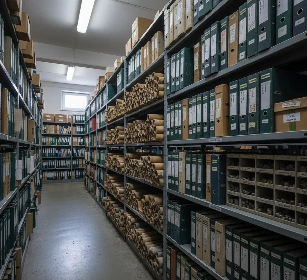
Every successful geotechnical project begins with a thorough understanding of site conditions. However, gathering and reviewing information from multiple sources can be time-consuming and resource-intensive.

Engineers often need to analyze geological maps, historical investigations, aerial photographs, environmental records, planning documents, and other datasets scattered across different systems. Missing critical information during the desk study phase can lead to unexpected site conditions, inadequate investigation programs, project delays, and increased costs.

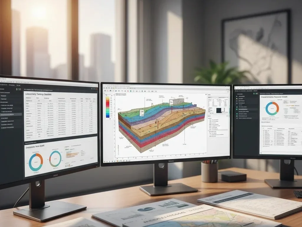
As project timelines become tighter and data volumes continue to grow, conducting comprehensive desk studies efficiently has become increasingly challenging.

Solution

GeoDeskStudy AI streamlines the desk study process by automatically collecting, organizing, and analyzing available site information from multiple sources. The platform identifies relevant geological, environmental, topographical, and historical factors that may influence project outcomes.


Using intelligent data analysis, the AI highlights potential risks, summarizes key findings, and generates structured site review reports that support investigation planning and engineering decision-making.


By reducing manual research efforts and improving information consistency, GeoDeskStudy AI helps teams gain a clearer understanding of site conditions before investing in fieldwork.

Key Features

1

Automated Site Information Collection

Aggregates geological, environmental, topographical, and planning data from multiple sources.
2

Historical Investigation Review

Analyzes previous geotechnical reports, borehole records, and historical site information.
3

Geological & Environmental Assessment

Identifies geological features, environmental constraints, and potential ground-related risks.
4

Aerial Imagery Interpretation

Reviews historical and current aerial imagery to identify site changes and development history.
5

Risk Identification & Site Screening

Highlights potential hazards, constraints, and areas requiring further investigation.
6

Comprehensive Desk Study Reports

Generates structured reports with findings, risk summaries, and recommendations for project teams.

How it works?

Site Location Input

Users provide project location details, site boundaries, and project objectives.

Data Collection

The platform gathers available geological, environmental, planning, and historical information relevant to the site.

Intelligent Analysis

GeoDeskStudy AI reviews the collected data to identify significant site characteristics and potential risks.

Site Condition Assessment

The AI evaluates geological features, land use history, environmental constraints, and previous investigations.

Findings & Recommendations

Key observations, risk indicators, and investigation recommendations are generated automatically.

Report Generation

A professional desk study report is produced for engineering review and project planning purposes.

Why Use GeoDeskStudy AI?

Who Can Benefit?

When GeoDeskStudy AI Delivers the Greatest Value?