
BoreLog AI

Transform Historical Borehole Logs into Searchable Digital Intelligence

Overview

BoreLog AI is an intelligent geotechnical data digitization platform designed to convert historical borehole logs, test pit records, CPT data, laboratory reports, and geological documents into structured, searchable, and analysis-ready digital datasets.
Powered by advanced Optical Character Recognition (OCR), document understanding AI, geological intelligence, and automated quality assurance, BoreLog AI eliminates the need for manual data entry while preserving valuable subsurface knowledge that often remains locked inside paper records and scanned PDFs.

The platform transforms decades of geotechnical information into standardized digital assets that can be integrated into GIS systems, ground models, geotechnical databases, and engineering workflows.

Challenges

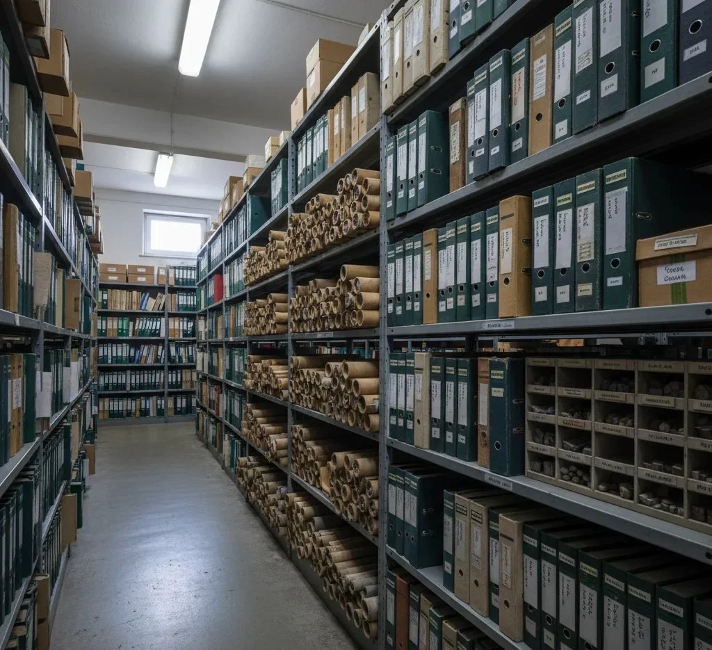
Across the geotechnical and engineering industry, vast amounts of valuable subsurface information remain trapped in paper archives, scanned reports, handwritten borehole logs, and legacy document repositories.

Common challenges include:

  • Thousands of historical borehole logs stored in non-searchable formats.
  • Significant manual effort required for data transcription.
  • Human errors during data entry and interpretation.
  • Inconsistent geological coding and classifications.
  • Difficulty reusing historical geotechnical information.
  • Limited integration with modern GIS and database systems.
  • Loss of valuable corporate knowledge over time.
  • High costs associated with digitization projects.

As organizations accumulate decades of project data, extracting value from legacy information becomes increasingly difficult.

Solution

BoreLog AI automates the digitization and interpretation of geotechnical records using advanced document intelligence and geological knowledge.
The platform reads scanned borehole logs, handwritten field records, test pit logs, CPT data, driller logs, laboratory reports, and geological maps. It automatically identifies borehole structures, extracts geological information, validates data quality, and converts the results into structured digital formats ready for engineering analysis.
By transforming historical records into searchable geotechnical intelligence, BoreLog AI enables organizations to unlock previously inaccessible knowledge, improve project planning, and maximize the value of existing data assets.

Key Features

1

Automated Borehole Log Digitization

Convert scanned borehole logs and field records into structured digital datasets without manual data entry.
2

Intelligent OCR & Handwriting Recognition

Extract information from printed documents, handwritten notes, scanned PDFs, and historical records.
3

Geological Data Extraction

Automatically identify and capture lithology, stratigraphy, soil descriptions, rock descriptions, and groundwater information.
4

SPT & Geotechnical Parameter Recognition

Extract Standard Penetration Test (SPT) results, core recovery data, RQD values, sample information, and engineering properties.
5

Borehole Structure Detection

Recognize borehole layouts, depth intervals, geological symbols, and tabular formats across multiple logging standards.
6

Geological Quality Assurance

Validate extracted information using geological rules, classification systems, and consistency checks.
7

Standardized Data Conversion

Convert extracted information into structured formats suitable for geotechnical databases and engineering software.
8

GIS & Ground Model Integration

Enable seamless integration with GIS platforms, ground modelling software, and geotechnical information systems.
9

Legacy Data Preservation

Preserve decades of historical geotechnical knowledge in a secure, searchable digital repository.
10

Enterprise Data Search

Search thousands of historical boreholes and geological records instantly using natural language or structured queries.

How it works?

Upload Historical Records

Users upload scanned PDFs, borehole logs, test pit logs, CPT records, laboratory reports, geological maps, and field documentation.

AI Document Understanding

The system applies OCR, handwriting recognition, table extraction, symbol detection, and geological layout recognition to understand document content.

Geological Data Extraction

BoreLog AI identifies and extracts key geotechnical information including borehole IDs, coordinates, depths, lithology, groundwater observations, laboratory references, and subsurface descriptions.

Validation & Quality Control

The extracted information is automatically validated using geological classification systems, engineering standards, and data consistency rules.

Digital Data Generation

Structured datasets are generated and exported into industry-standard formats ready for further analysis and integration.

What are the core intelligence modules behind BoreLog AI?

What data sources can BoreLog AI process, and what outputs can it generate?

Why Digitizing Geotechnical Data Matters?

Who Can Use BoreLog AI?