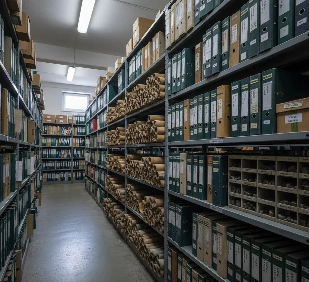

Geological maps contain valuable information about rock formations, soil units, faults, geological structures, and historical geological processes. However, interpreting this information often requires significant expertise and can be time-consuming, especially when dealing with large project areas or multiple geological datasets.
Project teams frequently need to review numerous geological maps, GIS layers, and regional geological databases before developing an understanding of site conditions. This process can be inconsistent, resource-intensive, and vulnerable to oversight.
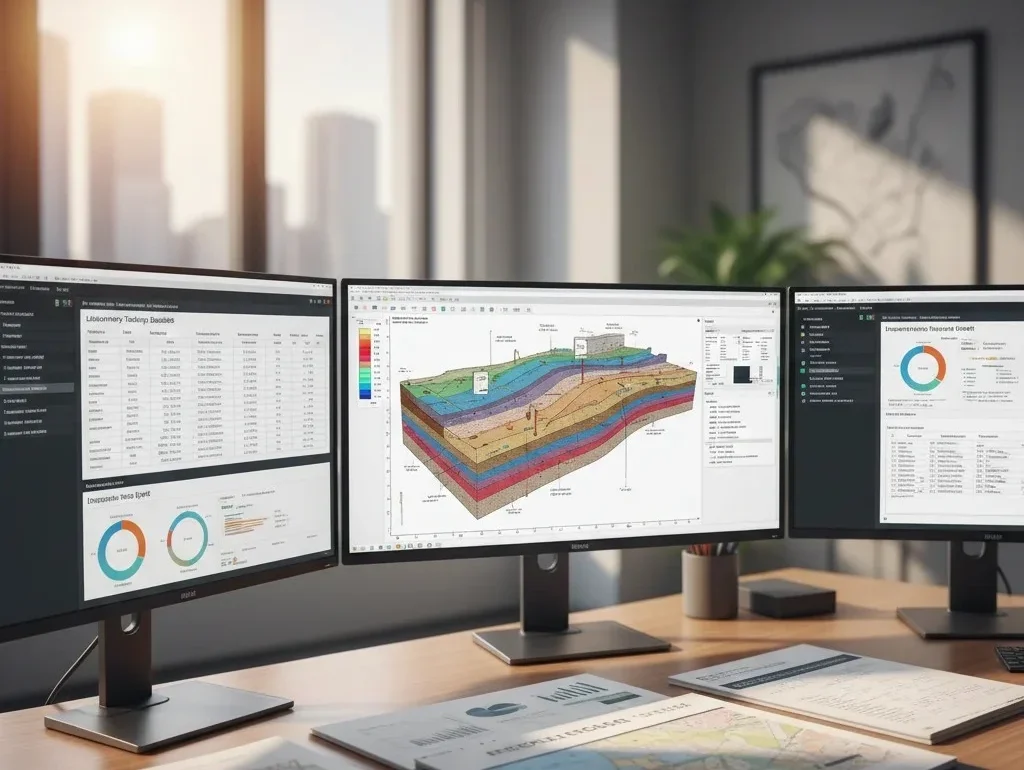
As infrastructure, mining, and development projects become more complex, organizations need faster and more reliable ways to transform geological information into practical engineering knowledge.