

- Modern infrastructure, construction, mining, and geotechnical projects rely heavily on monitoring systems to track ground behavior and structural performance. However, these monitoring networks generate vast amounts of data that must be reviewed regularly by engineers.
- Manual analysis of instrumentation readings can be time-consuming and may delay the identification of developing issues. Small changes in groundwater levels, settlement trends, or ground movement can easily go unnoticed until they become significant problems.
- Project teams often struggle to maintain continuous oversight while managing multiple sites, increasing the risk of unexpected failures, construction delays, safety concerns, and costly remediation work.
GeoMonitor AI
Monitor Ground Conditions. Detect Risks Early.
Overview
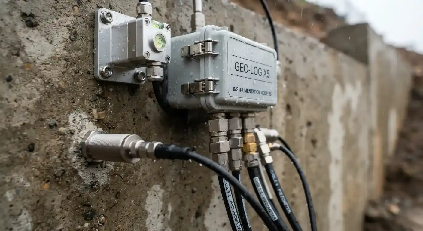
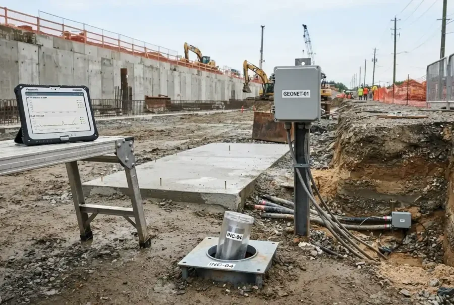
GeoMonitor AI is an intelligent geotechnical monitoring platform designed to continuously analyze instrumentation data and provide real-time alerts for potential ground movement and geotechnical risks. By integrating data from piezometers, inclinometers, settlement plates, and other monitoring instruments, GeoMonitor AI helps engineering teams identify issues before they become critical.
The platform transforms large volumes of monitoring data into actionable insights, enabling faster decision-making, improved safety, and more effective risk management throughout the project lifecycle.
Challenges
Solution
- GeoMonitor AI continuously analyzes incoming monitoring data and automatically detects unusual patterns, threshold exceedances, and emerging risks. Instead of manually reviewing thousands of readings, engineers receive clear notifications when action is required.
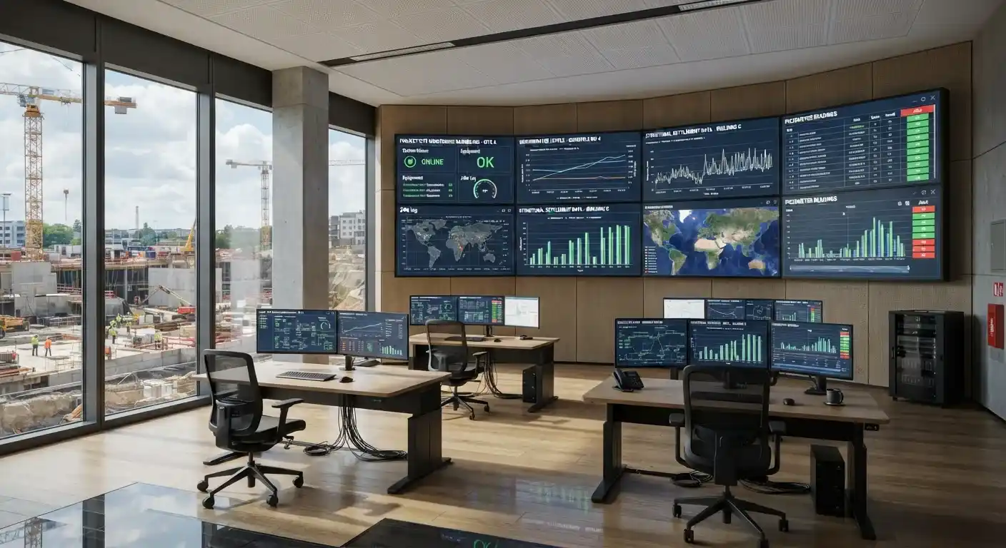
- The system evaluates historical trends, current measurements, and project-specific monitoring criteria to identify potential concerns early. GeoMonitor AI provides real-time visibility into site conditions, helping teams respond proactively and maintain safer, more efficient project operations.
- With automated monitoring and intelligent alerting, organizations can improve oversight, reduce risk exposure, and make faster, data-driven decisions.
Key Features
How it works?
Why Use GeoMonitor AI?
Ground movement, settlement, and groundwater changes can develop gradually before escalating into serious engineering problems. Detecting these issues early is essential for maintaining safety, controlling costs, and protecting project schedules.
GeoMonitor AI provides continuous oversight without requiring engineers to manually review every data point. By automatically identifying trends and triggering alerts, the platform enables proactive risk management and more confident decision-making.
The result is improved safety, reduced operational risk, and greater confidence in project performance.
Who Can Benefit?
Organizations responsible for monitoring geotechnical performance and managing ground-related risks can benefit from GeoMonitor AI, including:
- Geotechnical Engineering Consultants
- Infrastructure Asset Owners
- Mining & Resources Companies
- Construction Contractors
- Transportation Authorities
- Dam & Embankment Operators
- Tunneling & Underground Infrastructure Teams
- Government Agencies Managing Critical Infrastructure
GeoMonitor AI helps project teams maintain continuous visibility into site conditions while reducing the time and effort required to manage complex monitoring programs.
What are the typical applications GeoMonitor AI?
Excavation & Retaining Structures: Monitor ground movement and deformation around excavations and retaining systems.
Mining Operations: Track slope stability, settlement, and groundwater conditions across mining sites.
Infrastructure Projects: Monitor tunnels, bridges, highways, rail corridors, and major construction projects.
Dams & Embankments: Assess long-term performance and detect potential stability concerns.
Land Development Projects: Track settlement, groundwater levels, and ground performance throughout construction.
Critical Asset Monitoring: Provide continuous oversight of high-risk infrastructure and geotechnical assets.