Traditional road safety assessments (AusRAP star ratings) require manual surveys, which are time-consuming, subjective, and infrequent. This delays critical safety improvements.
RoadSight 360
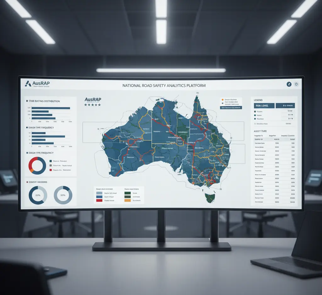
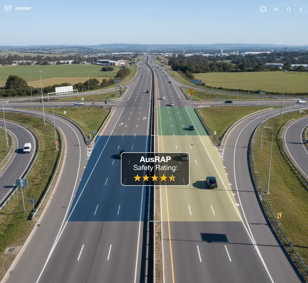
Automated AusRAP Road Safety Ratings

Overview
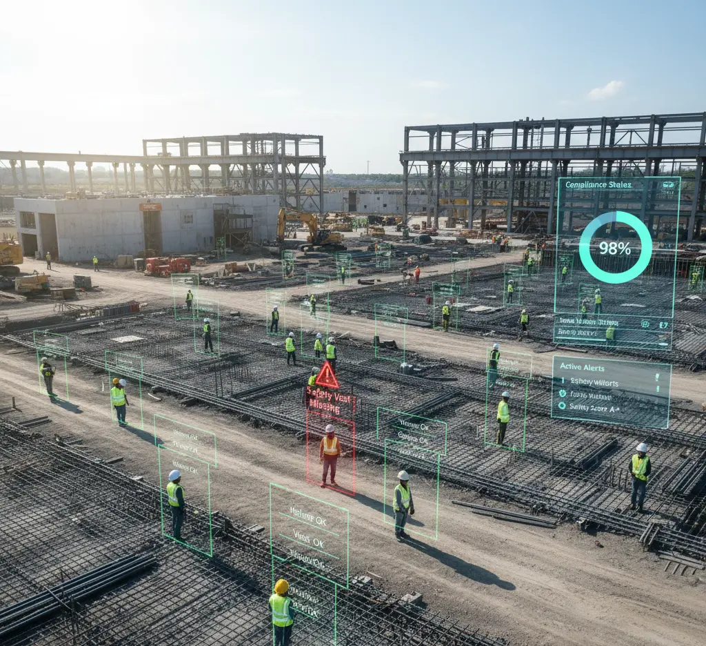
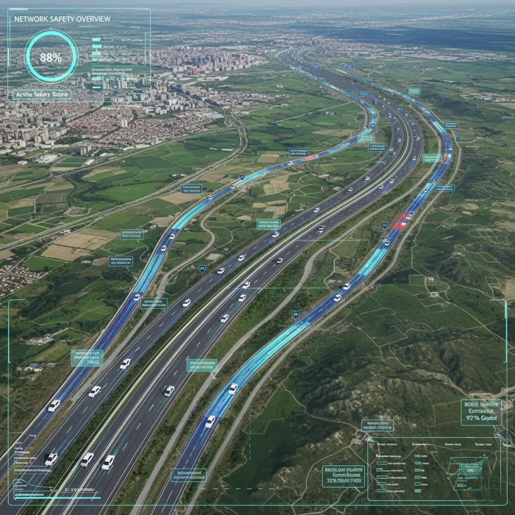
RoadSight 360 uses computer vision on 360° road survey video to automate the collection of AusRAP road attributes. As a survey vehicle drives, the AI recognizes features like lane count and width, shoulders, median barriers, roadside slopes, and pedestrian crossings. It then computes the official AusRAP star rating (1 to 5) for each road segment instantly. By standardizing attribute extraction, it eliminates human bias and greatly speeds up the assessment process. Transport agencies gain up-to-date safety ratings across their network, enabling data-driven maintenance and investment decisions.
Challenges
- Scale and speed: Covering vast road networks manually is slow.
- Consistency: Different auditors may rate similar conditions differently.
- Data integration: Attribute data from paper reports is difficult to compile.
Solution
- Automated 360° image capture and processing inspect hundreds of kilometers per day, far beyond manual capability.
- AI applies uniform criteria via fixed algorithms, ensuring consistent, repeatable results.
- Digital output feeds directly into GIS and asset databases, centralizing road safety information.
Key Features
How it works?
Survey Collection
A vehicle equipped with sensors and cameras drives the road network, capturing continuous footage.
Vision Processing
AI algorithms analyze the video to label elements like lanes, shoulders, barriers, and roadside hazards.
Attribute Measurement
The system quantifies dimensions (e.g. lane width) from the imagery using calibrated geometry.
Rating Computation
Applying the AusRAP methodology, attributes are translated into a star rating for each road segment.
Delivery
Results are uploaded to the agency’s database, with visual tools to explore high-risk areas.
Who uses RoadSight 360?
A state roads agency retrofits two trucks with 360° cameras and scans all major highways monthly. RoadSight 360 processes the footage overnight, producing updated star ratings. Planners use this to identify low-star corridors (e.g. narrow rural roads with no shoulders) and prioritize safety upgrades such as adding guardrails or widening lanes.
What’s RoadSight 360 vision impact?
Automated ratings transform road asset management. Agencies see a 10–20× increase in survey productivity, covering entire networks yearly instead of over many years. Automated processing reduces costs and improves inspection speed while maintaining accuracy. In one case, an AiRAP-accredited system automatically identified 20 attributes, enabling agencies to scale assessments without sacrificing quality. Ultimately, this leads to smarter investment decisions: authorities can rapidly improve low-scoring roads, reduce crash risk, and enhance public safety. By detecting defects (e.g., potholes and faded markings) early using AI, maintenance becomes more efficient, lowering repair costs and saving lives.